When one is driving through a desert,
there's a certain intimacy with the terrain. Of course
not as much as when you're forced to crawl over it, but
still, behind a sheet of safety glass and a steering wheel
there's an immediacy. A simple depression of a brake pedal
and unlatching of a door handle will have the bottoms
of your feet burning on the pavement at a gas station.
A glance up and down the highway will entice blue lakes
to appear in the wavering air. Not so inside an airplane.
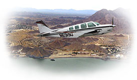
For most of us the inside of a small plane
is a foreign environment, enough of a culture shock to
psychologically distance us with its bird-world-view.
There's still engine noise, to be sure. Much more so than
in a car. But what is dramatically missing is the click
and hum of road surface feedback as tires massage the
wrinkles out of (or into) blacktop and pavement. And gone
is the assurance that a small motion of your hand against
the steering wheel can put you in the passing lane. Not
to mention rest stops.
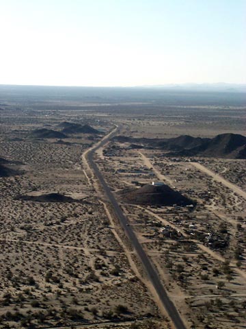
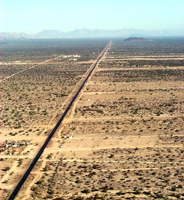
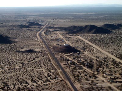
But the most alien baggage of flying over
a desert is the visual reduction of the geography. In
a car, one notes the foliage, the flora, certain colors
as flowers push a brief pallette of hues out of a sea
of browns. Road signs, billboards, abandoned cars, small
shacks, a mircrowave tower, every detail gets noticed.
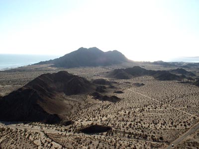
But from the air, details are lost in an enlarged perspective.
Minutae becomes demoted to the rank of a statistic. Only
the grand brush strokes get noticed. And the largest brush
strokes of a desert are the hills and mountains.
 While
paleomagnetic signature officiandos duke it out with geologists
about the original location of Baja during pre-batholithic
times (before the formation of the mountains), both agree
about the action of heat in the formation of northern
Baja, as evidenced by the granitic, metamorphic, and metavolcanic
rock types. Like a nervous denture wearer, the earth was
definitely rubbing its plates together, enough to generate
large quantities of magmatic material. This furnace activity
becomes very apparent from the air. Every nob, hill and
mountain stands out from the desert like a charred cinder,
sometimes looking so black they appear spray-painted. While
paleomagnetic signature officiandos duke it out with geologists
about the original location of Baja during pre-batholithic
times (before the formation of the mountains), both agree
about the action of heat in the formation of northern
Baja, as evidenced by the granitic, metamorphic, and metavolcanic
rock types. Like a nervous denture wearer, the earth was
definitely rubbing its plates together, enough to generate
large quantities of magmatic material. This furnace activity
becomes very apparent from the air. Every nob, hill and
mountain stands out from the desert like a charred cinder,
sometimes looking so black they appear spray-painted.
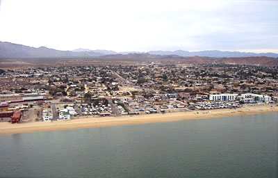
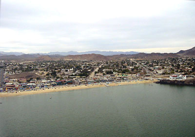
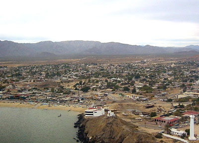
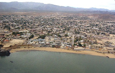
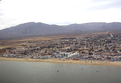
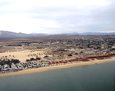
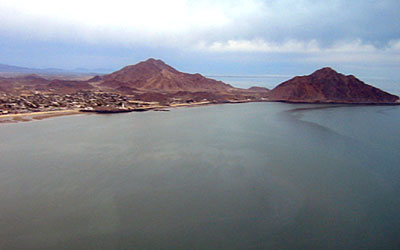
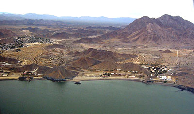
Below are some thumbnail links to photos
of San Felipe from the air. The bottom row was photographed
from a hot-air balloon as it passed over the ejido. They
show the striking contrasts between raw, natural desert
and the effects of water, blueprints, bricks, landscaping,
and pavement. Throw in a good measure of dog urine, expectorants,
sweat and spilt beer and you've got the makings of first-class
desert community.
Photo
of the Week | Photo
Galleries
|